Worth remembering
- Similan is Thai for 'nine,' named for the nine granite islands that make up this national marine park.
- The islands are numbered 1 through 9 from south to north, a practical system that replaced individual names.
- Ancient geological forces pushed these massive rocks upward over millions of years, creating the iconic landscape you see today.
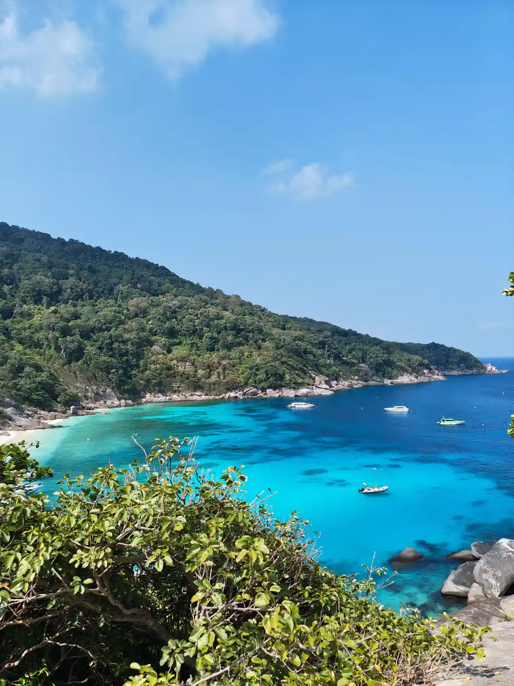
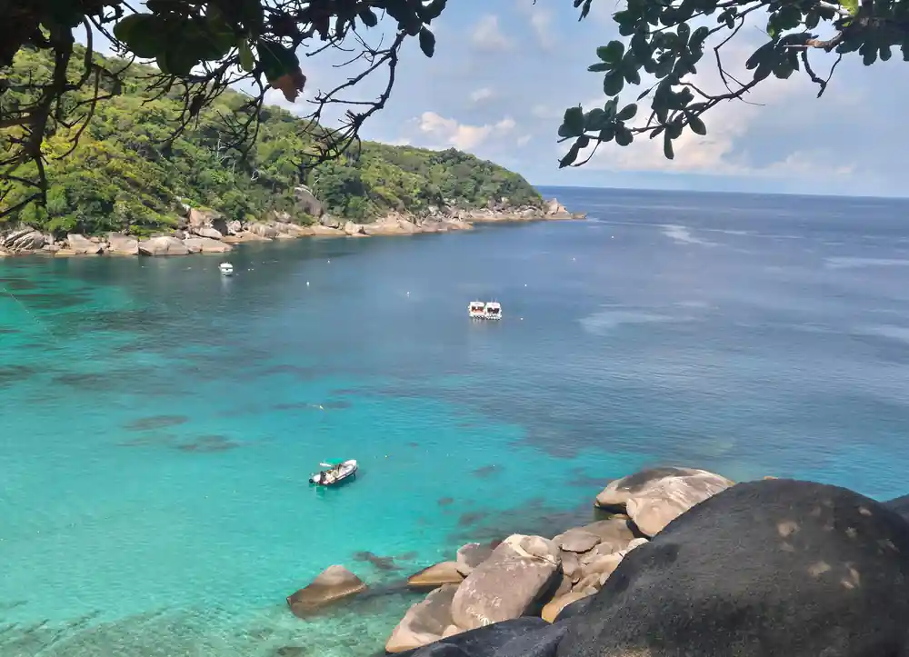
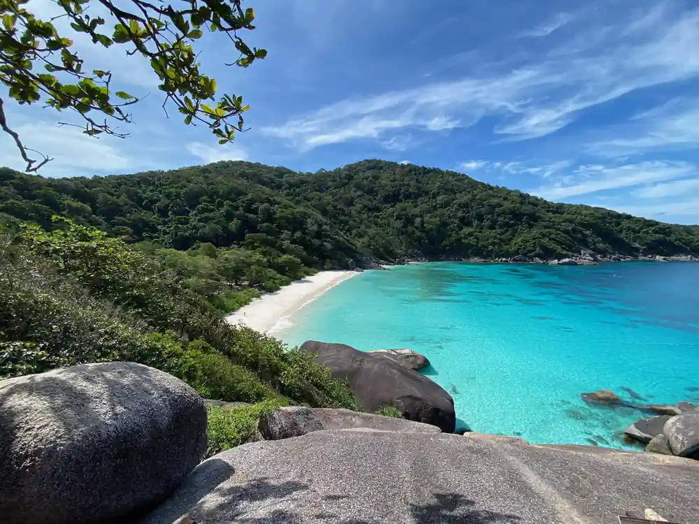
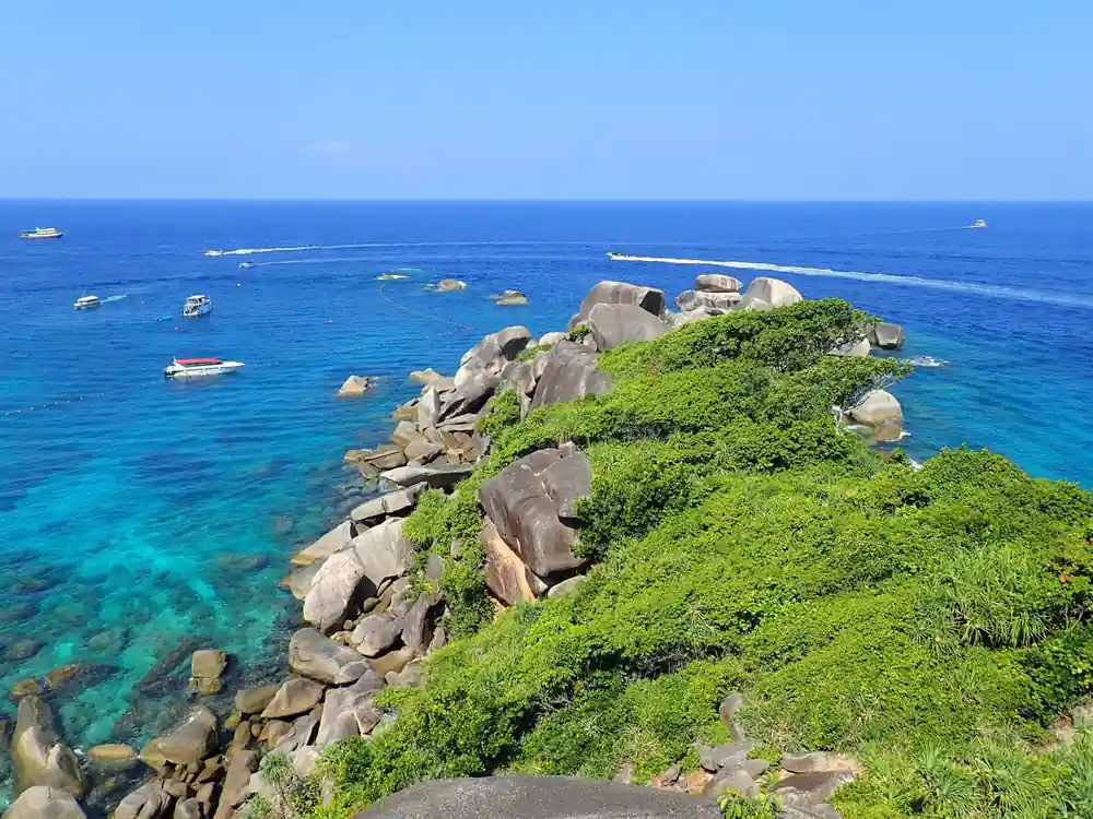
- The elevated viewpoints on Ko Miang reveal panoramic views of the surrounding islands, bays, and the Andaman Sea stretching to the horizon.
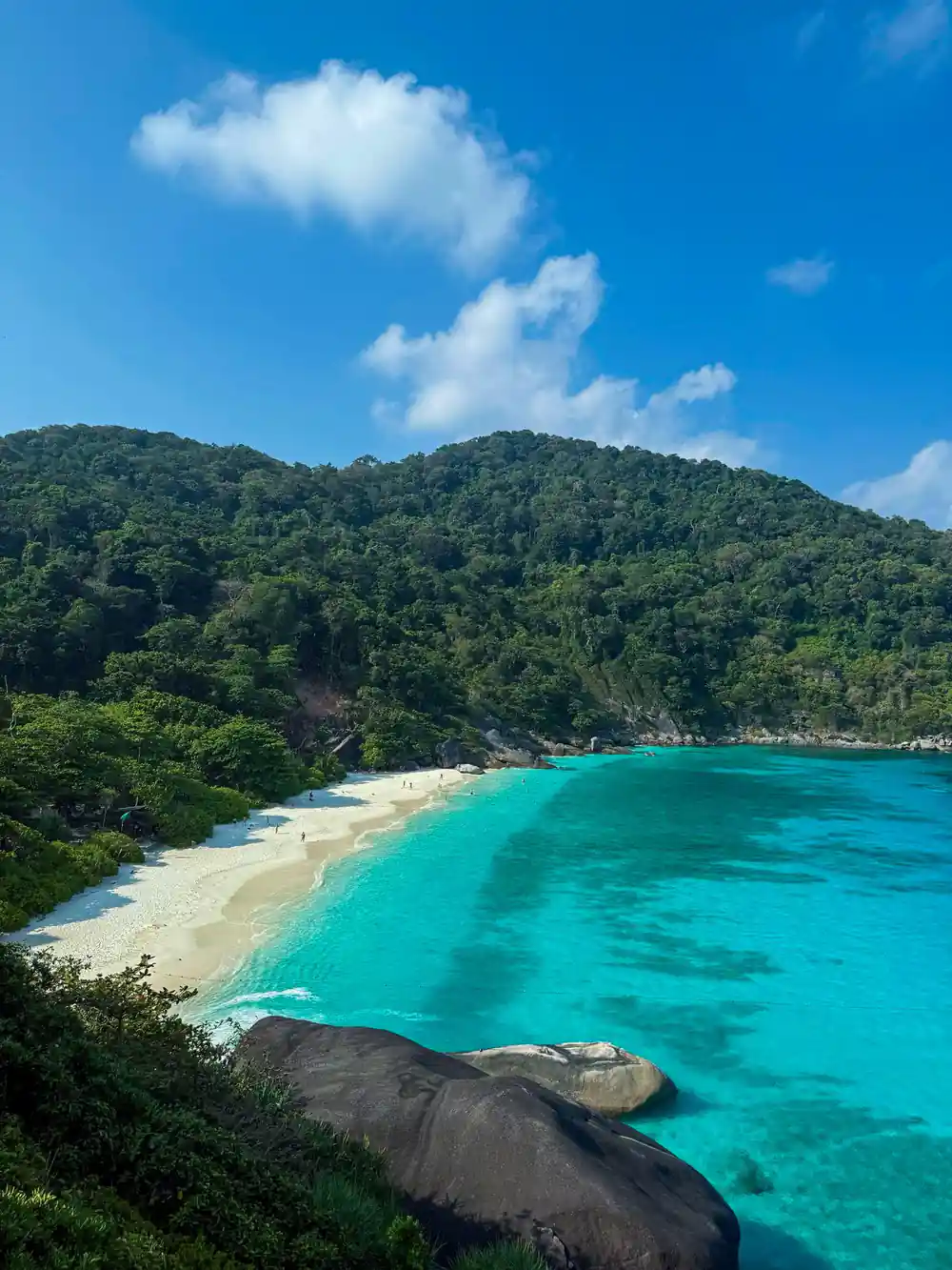
- Named for its distinctive shape that resembles a duck's profile when viewed from above, this sheltered cove is a highlight of the tour.
Granite Giants Born from the Sea
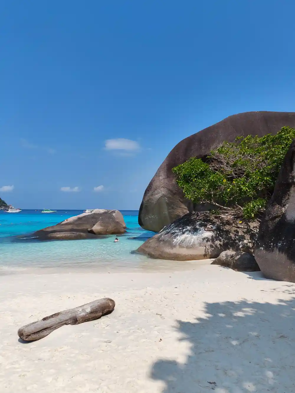
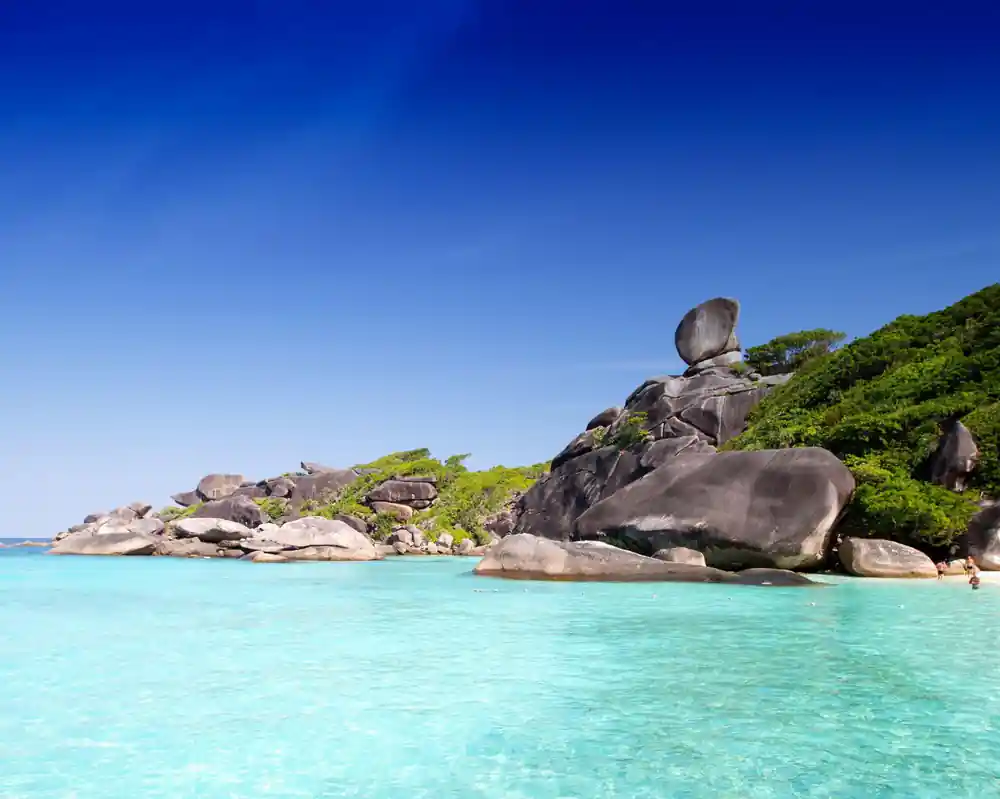
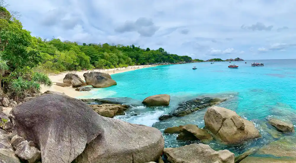
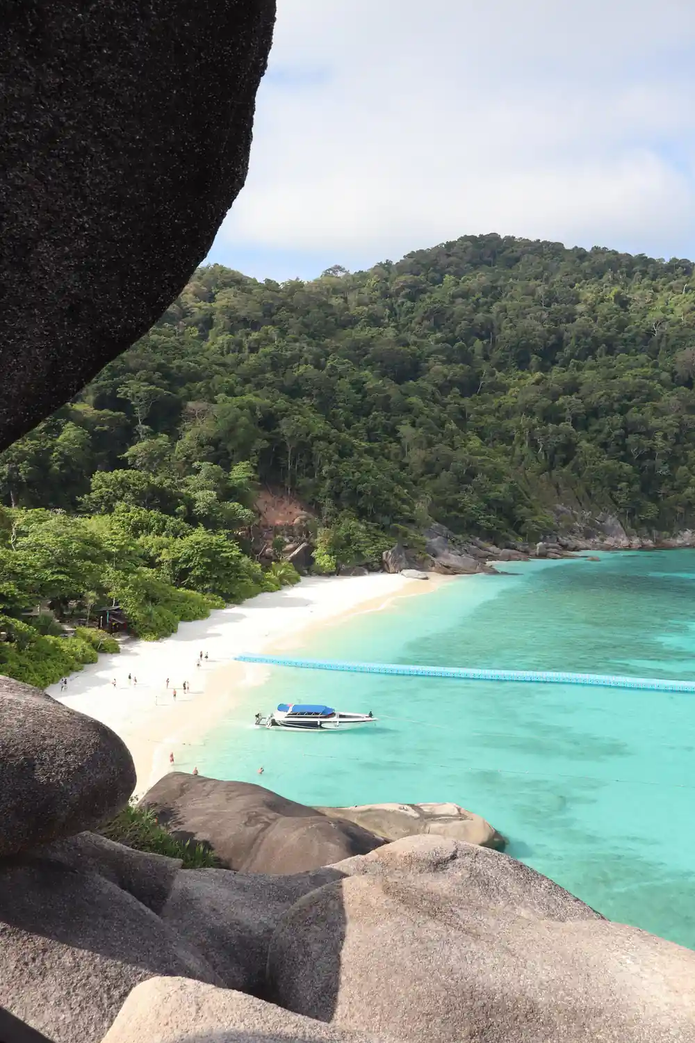
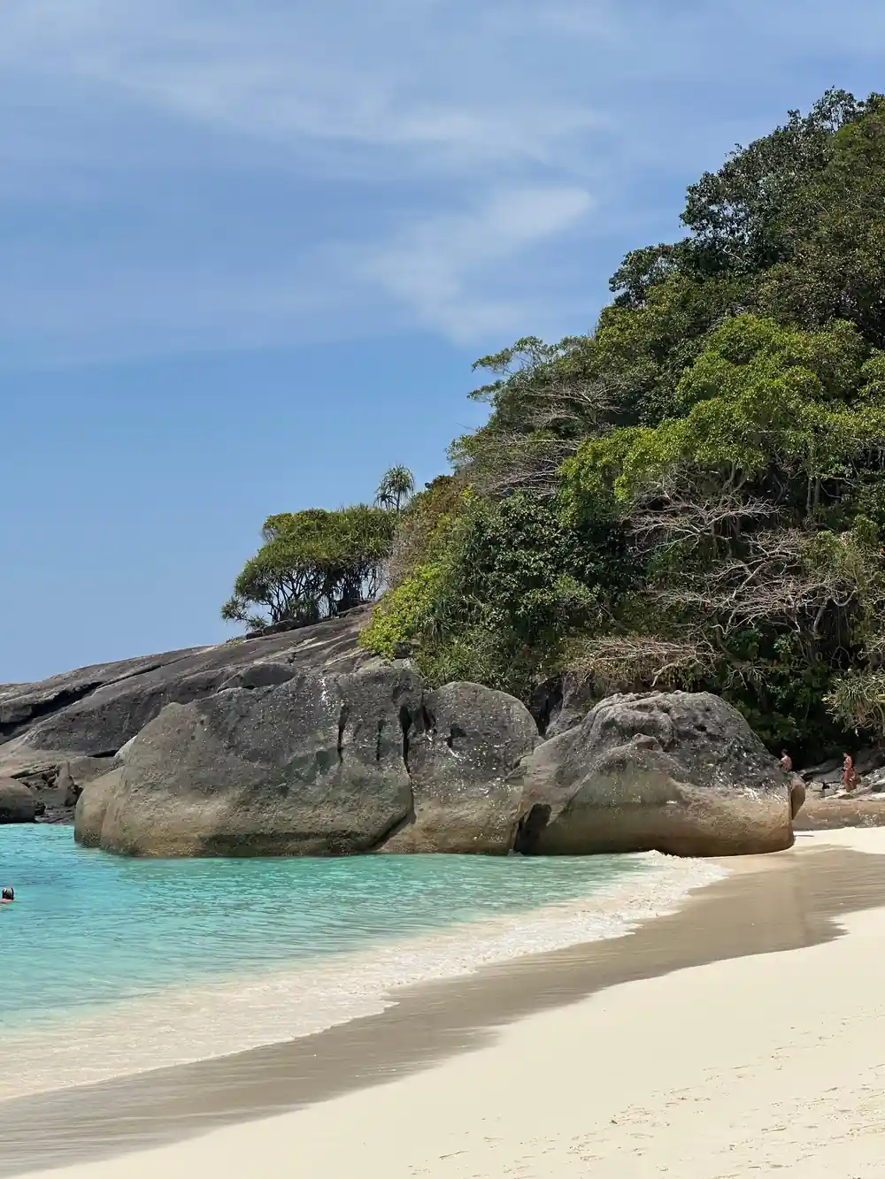
The Similan Islands owe their dramatic appearance to 160 million years of geological drama. These nine islands rose from the Andaman Sea as part of a granite batholith, a massive underground formation of igneous rock that cooled slowly beneath the earth's surface. Over millions of years, tectonic forces pushed this granite upward, and the sea gradually eroded away the softer surrounding rock, leaving behind the distinctive rounded granite domes and boulders you see today. The weathering process continues: water seeps into tiny cracks in the granite, freezes and expands during cooler months, and slowly splits the rock into larger pieces. This endless cycle has sculpted the islands into their present shape, with some boulders reaching heights of 40 metres or more.
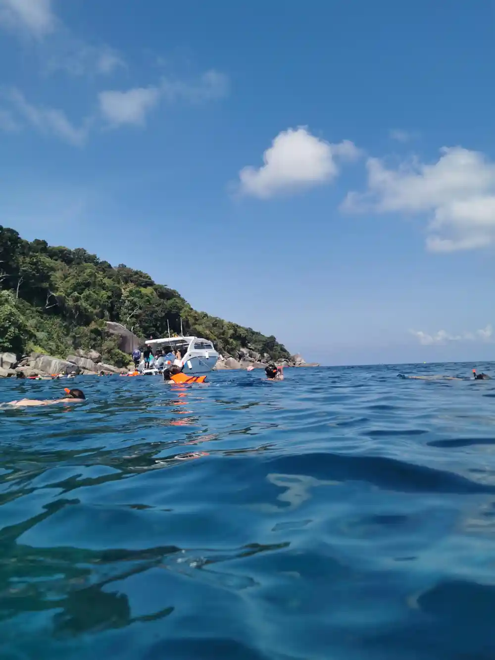
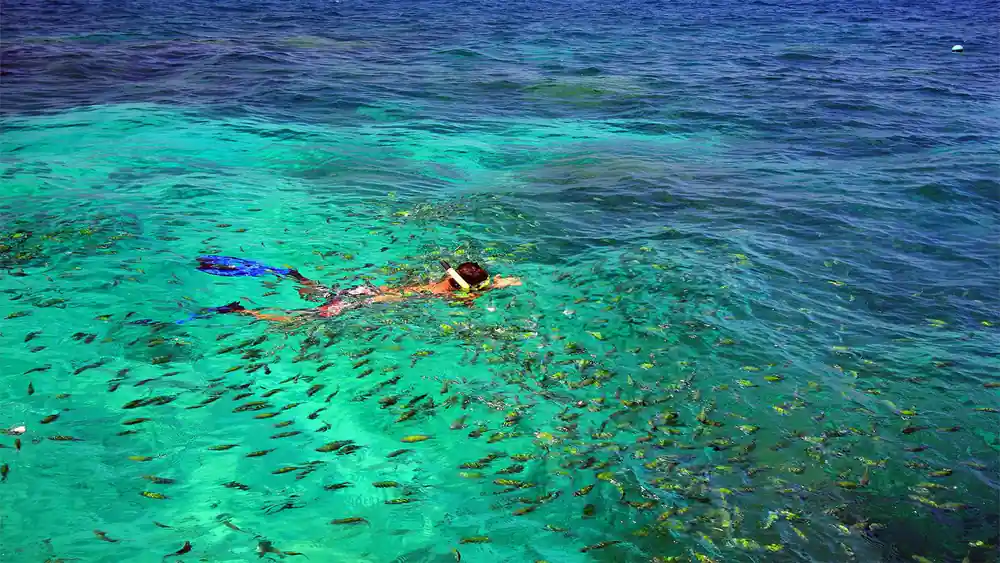
What makes the Similan Islands unique compared to other granite formations in Thailand is their isolation in open water. Exposed to stronger wave action and weather systems, the granite here has weathered into rounder, smoother forms than you'll find in protected bays. This geology directly affects what you experience on your 13-hour tour: the white-sand beaches form from decomposed granite, creating the pristine conditions perfect for snorkelling at 3 locations, while the underwater boulder formations create the reef habitats that support vibrant marine life.
Why Donald Duck Bay Got Its Curious Name
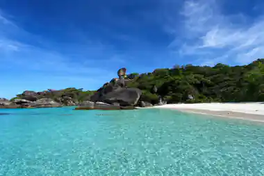
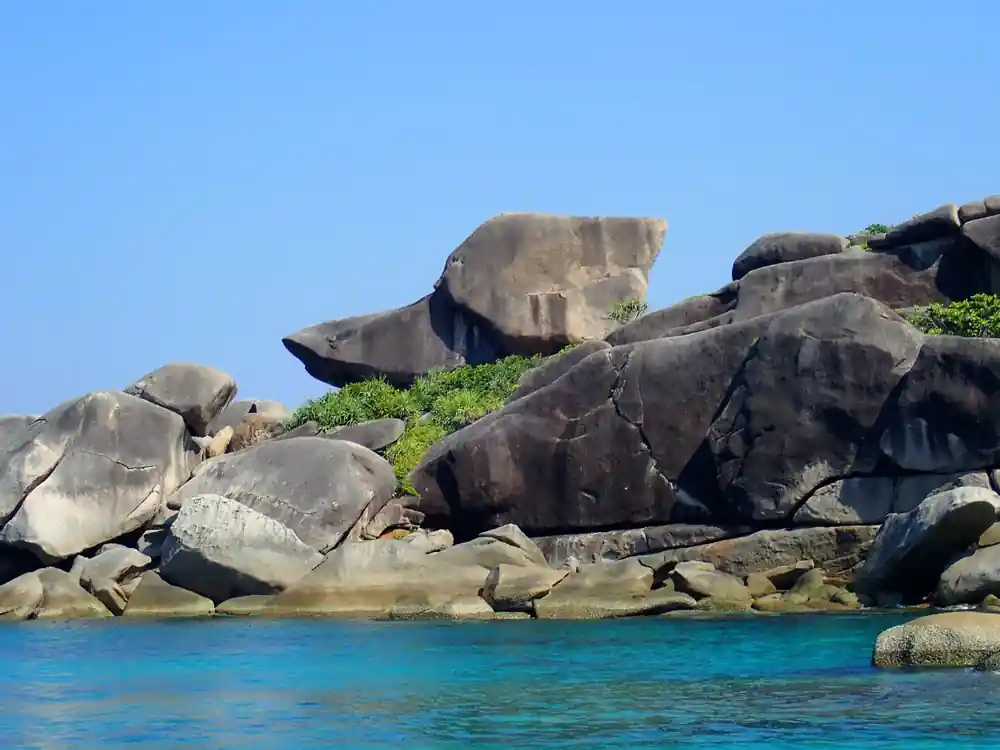
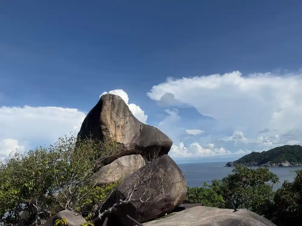
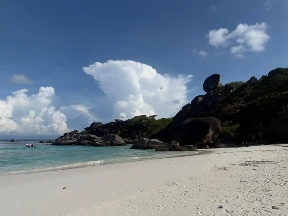
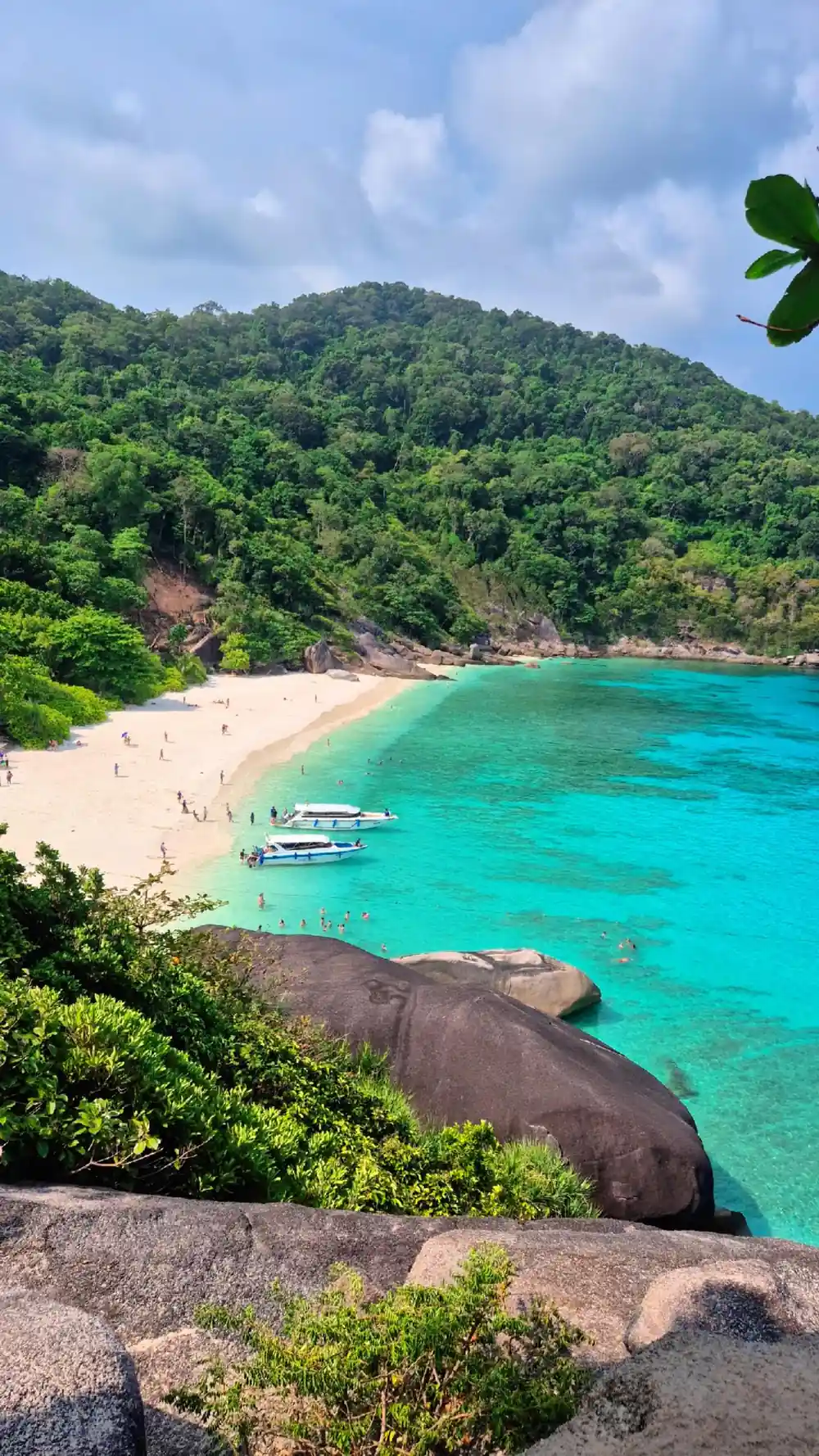
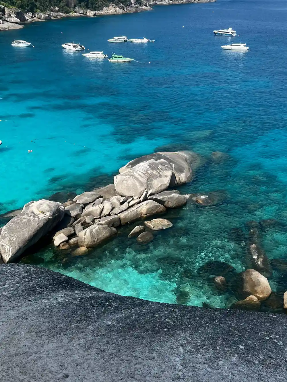
Donald Duck Bay earned its whimsical name from the distinctive profile of a large granite boulder that dominates the cove. When viewed from a specific angle, the rock formation resembles the head and bill of Disney's famous duck character, complete with what appears to be a curved neck and beak. Local boat guides began using the name informally, and it eventually stuck with both tourists and operators. Your speedboat will stop here during the tour, giving you the chance to see this natural likeness for yourself and understand how local communities often name geographical features based on visual characteristics rather than formal designations.
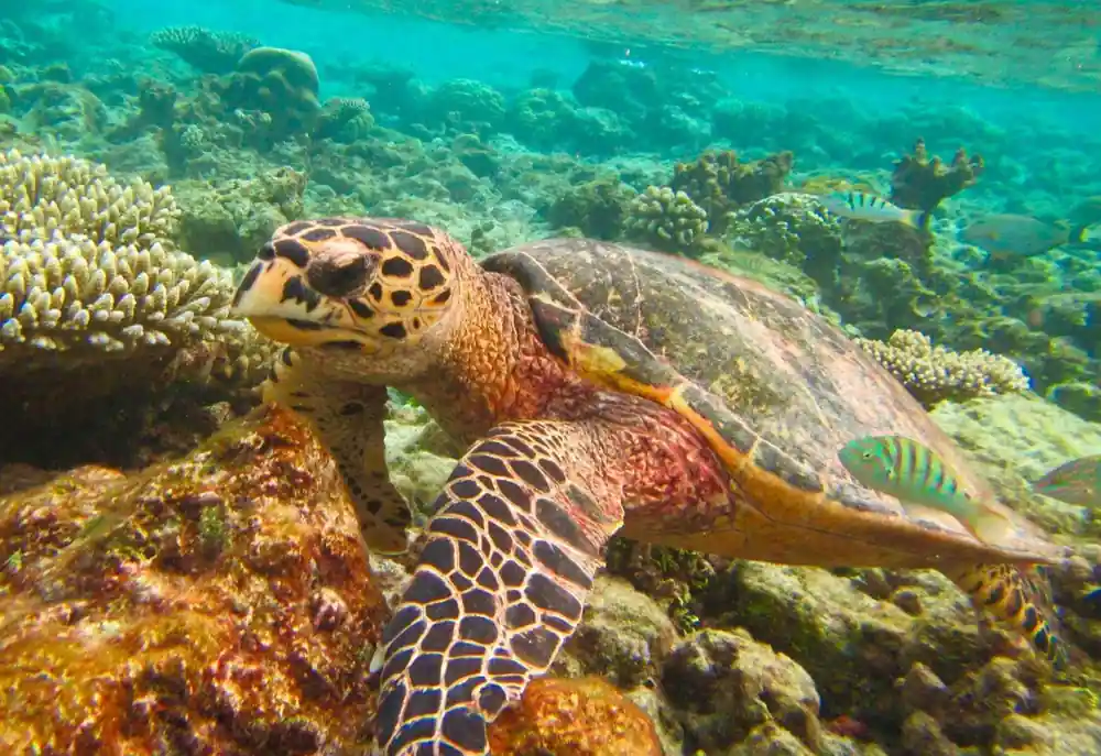
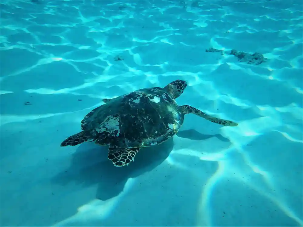
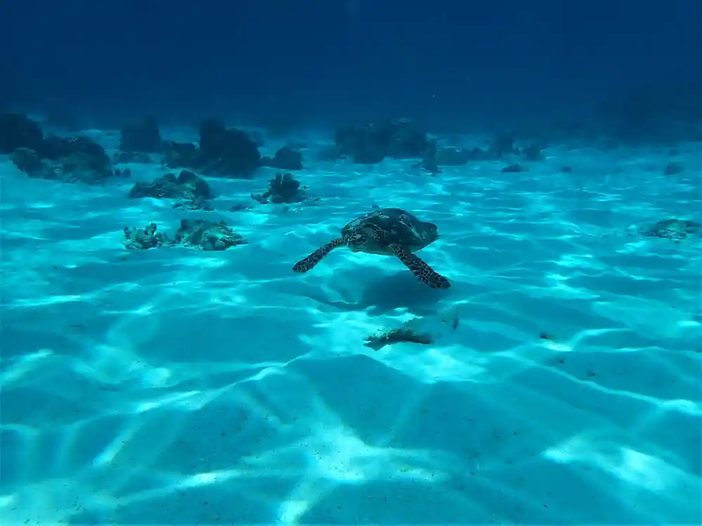
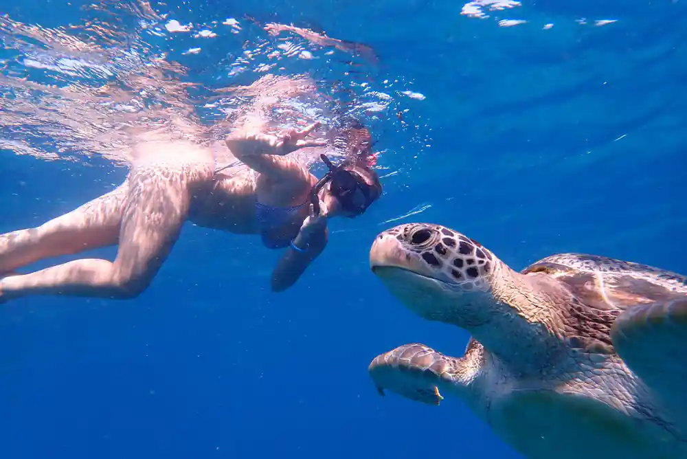
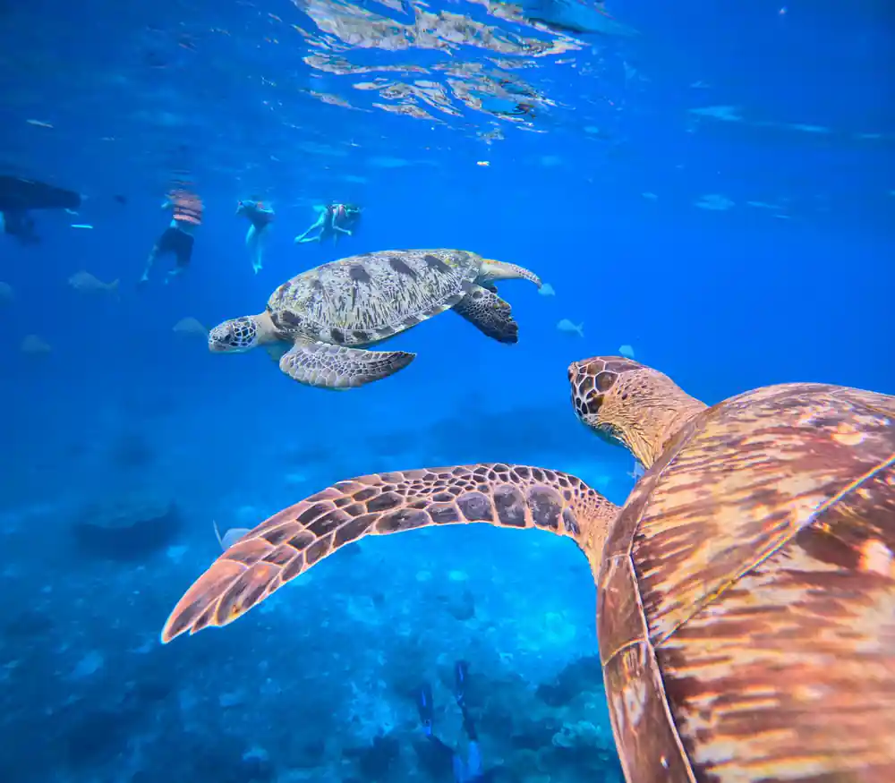
The bay itself offers calm, shallow waters ideal for swimming and a first introduction to the islands' underwater world. The sandy bottom and clear water mean you can see the granite formations even from the surface, and snorkelling here reveals smaller reef fish and occasional sea turtles. Because it's one of the accessible stops on your itinerary, Donald Duck Bay tends to be busier than more remote locations, but the protected waters make it suitable for swimmers of varying confidence levels.
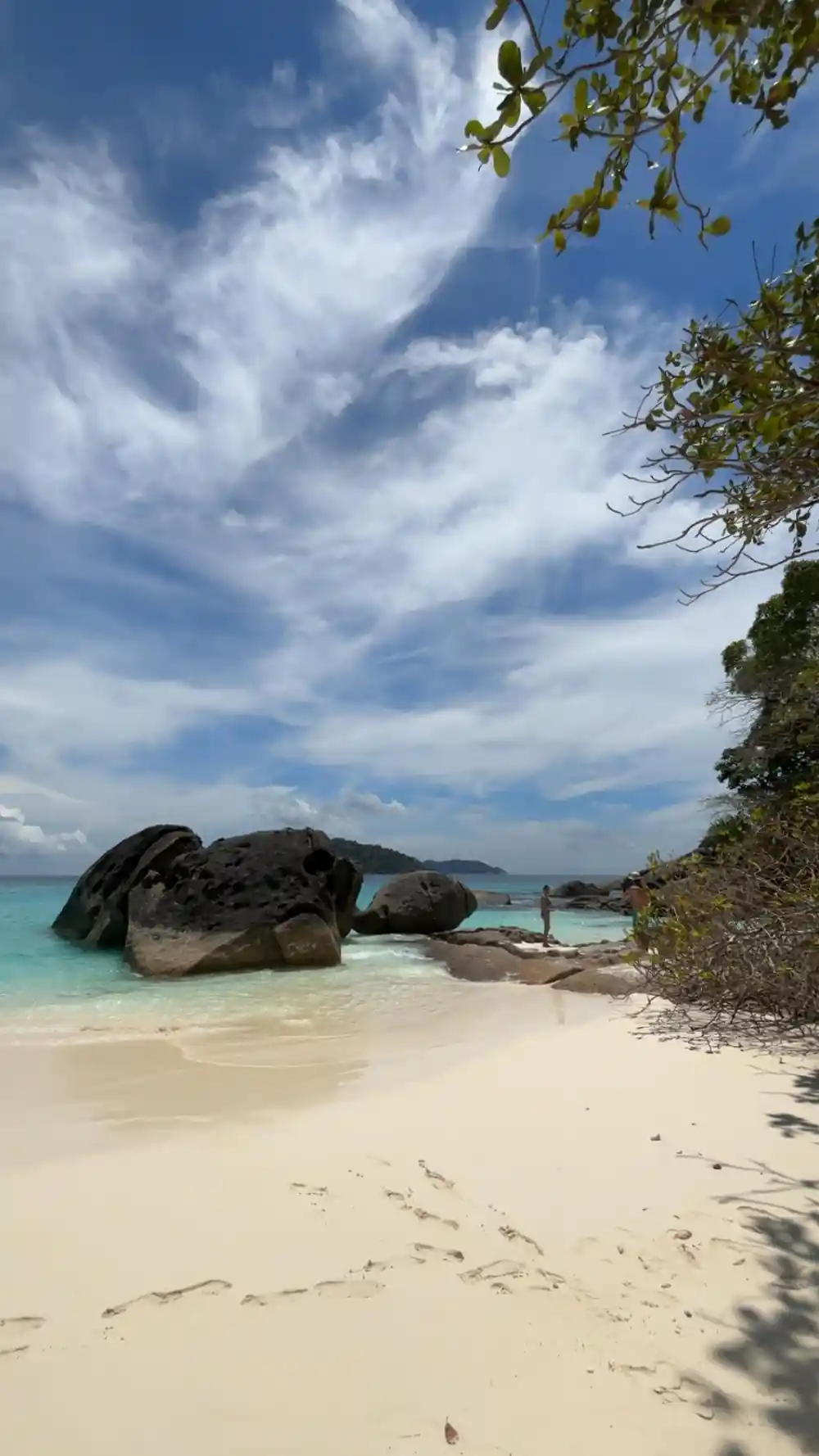
Granite peaks rise from the Andaman Sea, shaped by 60 million years of geological forces
Sail Rock and the Islands' Famous Landmarks
Sail Rock stands as one of Southeast Asia's most iconic dive and snorkel sites, though it technically sits just outside the main island group. This towering granite monolith rises dramatically from the seafloor, and from certain angles, its shape genuinely resembles a billowing sail catching the wind. The formation reaches approximately 40 metres above the waterline and extends much deeper below, making it a magnet for both recreational snorkellers and technical divers seeking the advanced underwater pinnacles. The rock's unique shape creates complex currents and water movements that concentrate marine life around its base and sides, resulting in consistently rich snorkelling conditions.
While Sail Rock may not be a direct stop on every early-bird tour, your guide can point it out from the boat and explain its significance to the region. The site's fame stems from decades of word-of-mouth among diving communities, making it a visual reference point for understanding the broader geography of this marine protected area. The waters around Sail Rock are deeper and the currents stronger than at sheltered bays, so experienced swimmers are most comfortable with close-up exploration, while others enjoy viewing it from the boat during the speedboat cruise portion of your day.
Numbers and Names: Why Islands Are Numbered Rather Than Named
The nine islands of the Similan archipelago are officially designated by numbers, from Koh Huyong (Island One) in the north to Koh Rochasima (Island Nine) in the south. This numerical system originated with Thai government surveys and has remained the official classification ever since. However, each island also carries a Thai name, and some have acquired informal English names based on their appearance or notable features. Ko Miang, for instance, is officially Island Four but is among the most visited because it offers freshwater sources and the established infrastructure that makes it an ideal lunch spot on your day tour. The numbering system makes navigation straightforward for boat captains and official records, while the multiple names reflect how locals, guides, and tourists layer their own references onto the landscape.
On your tour, your multilingual guide in one of six languages will use both systems, helping you understand the official structure while sharing the stories behind individual island names. This dual naming reflects the islands' history of use by different communities and the way geographical knowledge develops through repeated visits and accumulated local knowledge. Understanding both systems enriches your experience, as you'll recognise references in guidebooks and on nautical charts while also appreciating the more poetic names that have evolved through years of informal use.
The Moken and Early Human History
Long before the Similan Islands became a national marine park, the Moken people used these waters as part of their traditional maritime territories. The Moken are an ancient seafaring culture of the Andaman region, known for their exceptional free-diving abilities and their deep knowledge of local currents, tides, and seasonal patterns. Archaeological evidence and oral histories suggest that the Similan Islands served as fishing and gathering areas rather than permanent settlements, with the Moken visiting seasonally to exploit rich marine resources. Their understanding of the environment and the underwater landscape was encyclopaedic, accumulated over centuries of living in and around these waters.
The islands' transition to government control and protected status reflected changing attitudes toward resource management across Thailand, particularly from the 1970s onward. This shift from traditional use to formal conservation represents a significant transition in how these islands function in the region's economy and ecology. Today's tourism, including your early-bird speedboat tour, represents a modern form of resource extraction and use, one that the park management attempts to balance with conservation goals. Your guide may share insights into this history, offering context for the rules and designated areas that shape your experience during the 13-hour excursion.
National Marine Park Status and Protection
The Similan Islands were officially designated as a National Marine Park in 1982, making them one of Thailand's earliest and most important marine protected areas. This status meant the establishment of entrance fees (included in your tour package), regulations around anchoring and fishing, and designated zones for different activities. The park's creation was partly in response to growing tourism pressure and partly due to recognition of the islands' ecological significance as breeding and feeding grounds for numerous fish species, sea turtles, and other marine life. The designation provided legal framework for conservation efforts that would have been impossible under private or informal management.
Park regulations shape everything about your tour experience, from the designated snorkel sites to the restrictions on where boats can anchor and how many visitors can occupy any given area at once. National park fees cover maintenance of facilities, enforcement of conservation rules, and management of the marine environment itself. These protections mean the islands have retained their ecological integrity and visual appeal despite decades of tourism growth. Your guide will explain some of these regulations as you move between locations, helping you understand why certain areas have restrictions and how visitor behaviour directly affects the long-term health of the reefs and beaches you've come to explore.
White Sand and Crystal Waters Explained
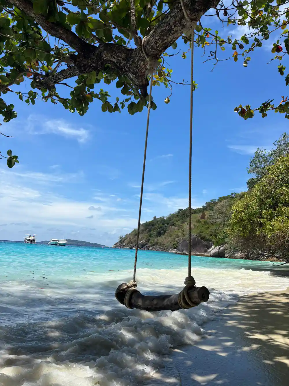
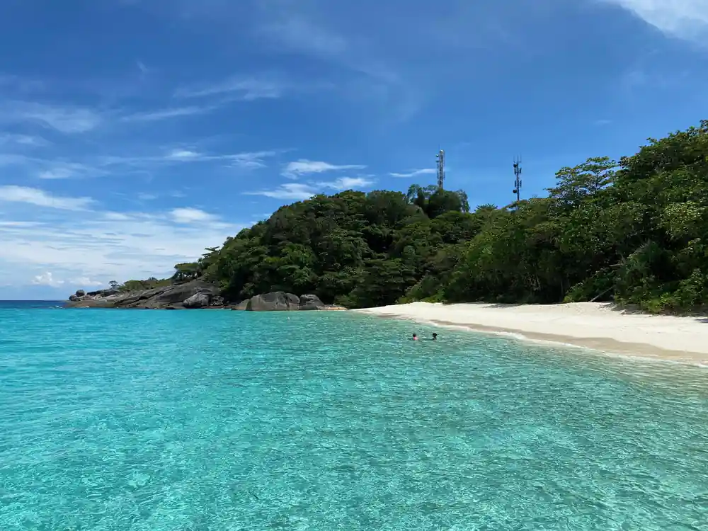
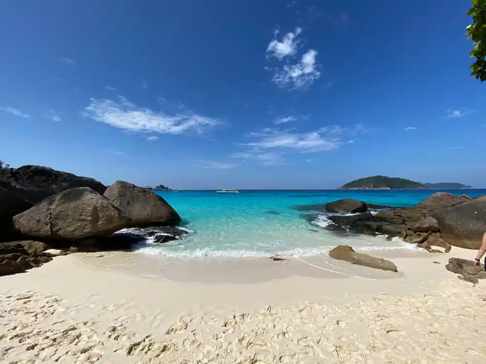
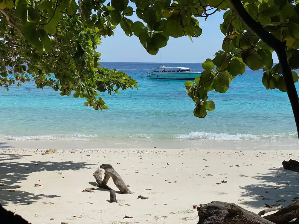
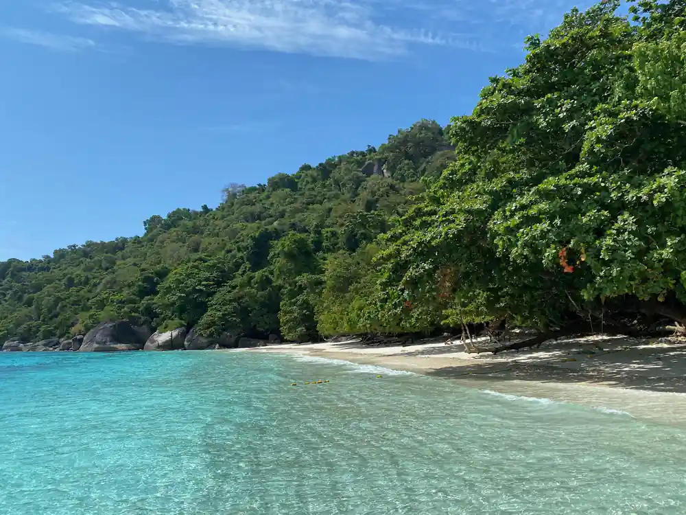
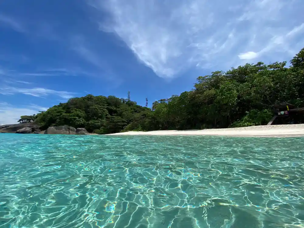
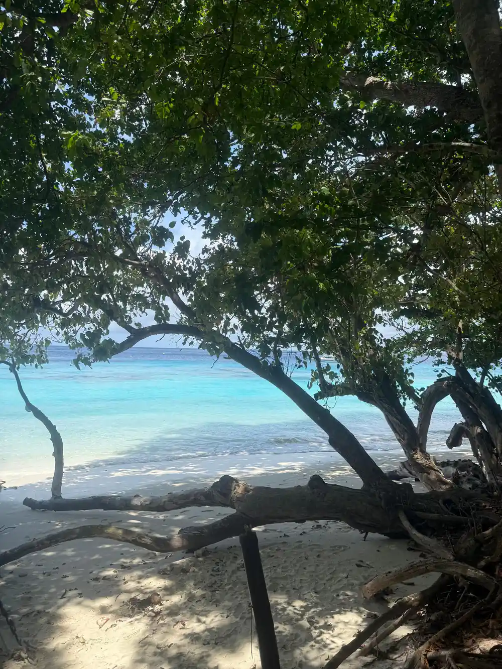
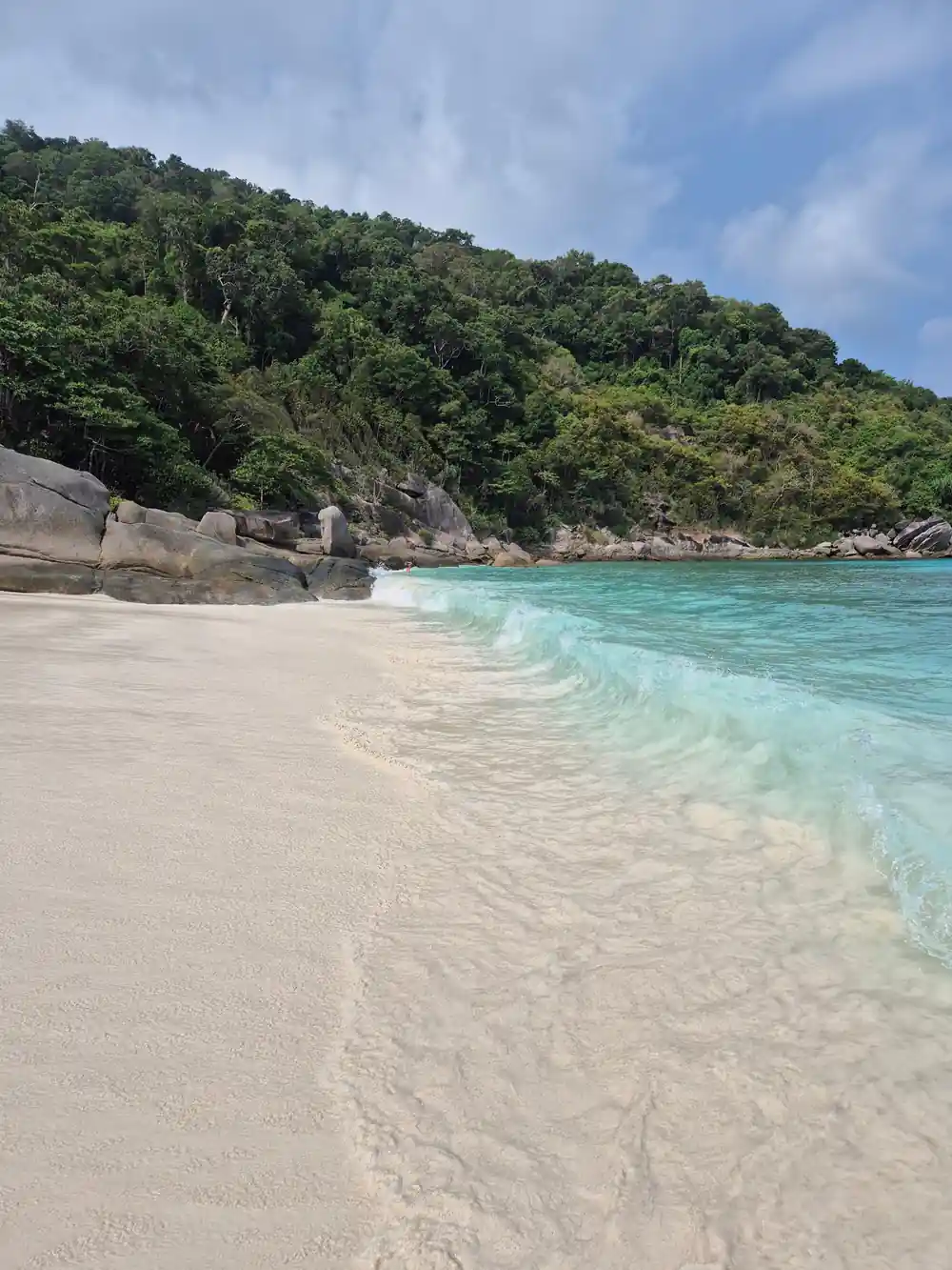
The striking white sand that lines the Similan Islands' beaches is almost entirely composed of decomposed granite and quartz, the end result of millions of years of weathering the surrounding rock formations. Unlike tropical sand formed primarily from coral fragments, Similan sand comes directly from the breakdown of the islands' own granite domes and boulders. This geological origin gives the sand its distinctive colour and texture: bright white, fine-grained, and cool to the touch even in the tropical sun. The sand's composition also means beaches naturally drain quickly after waves wash across them, eliminating the muddy or heavy feeling of some other tropical destinations.
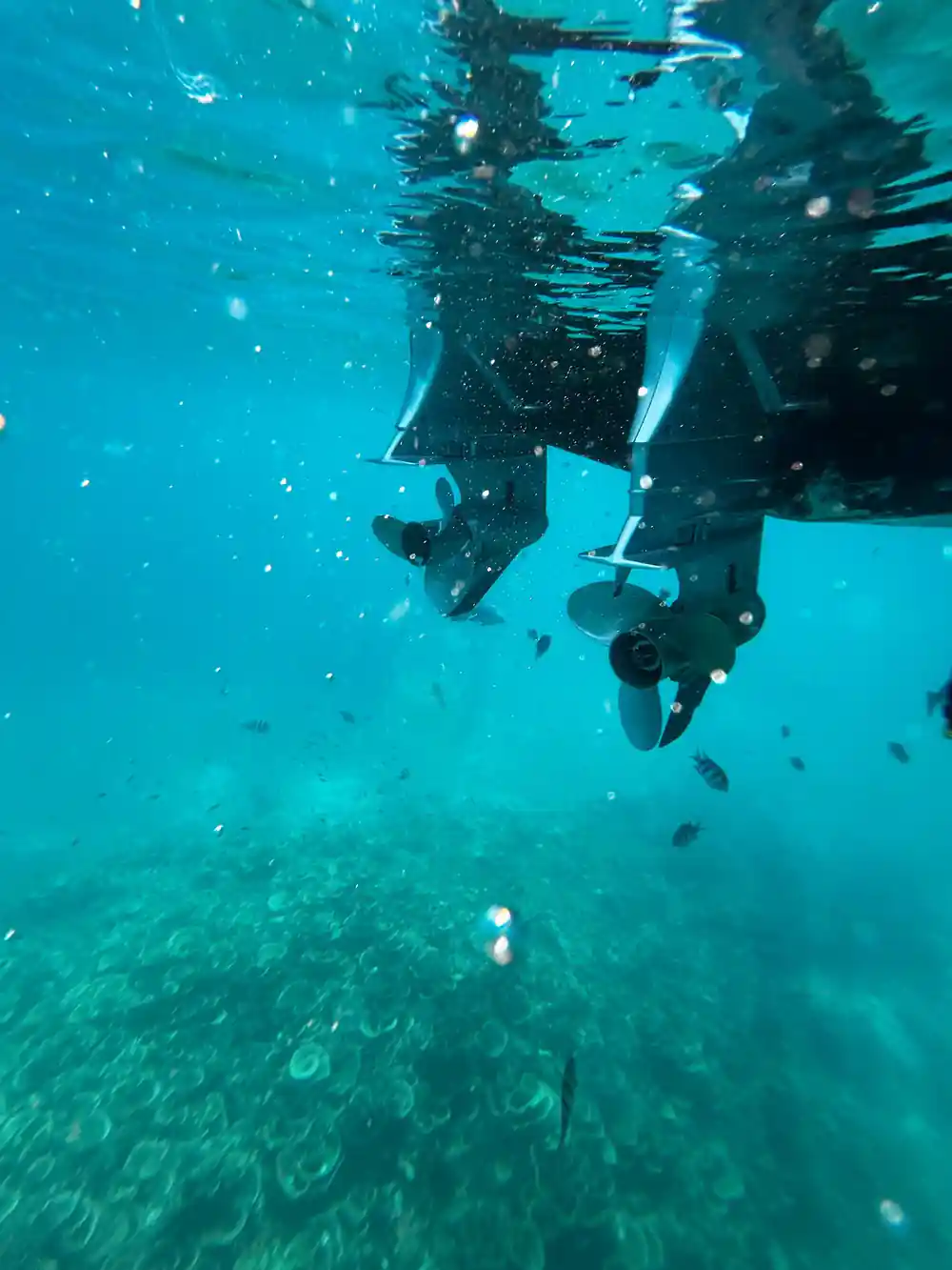
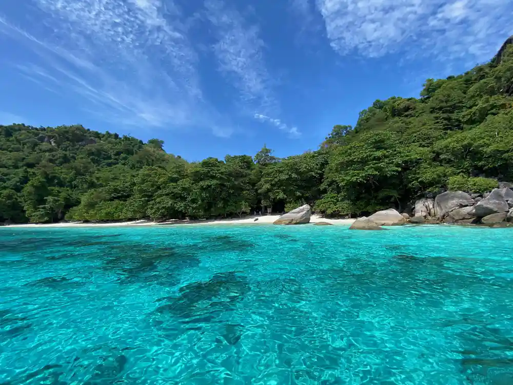
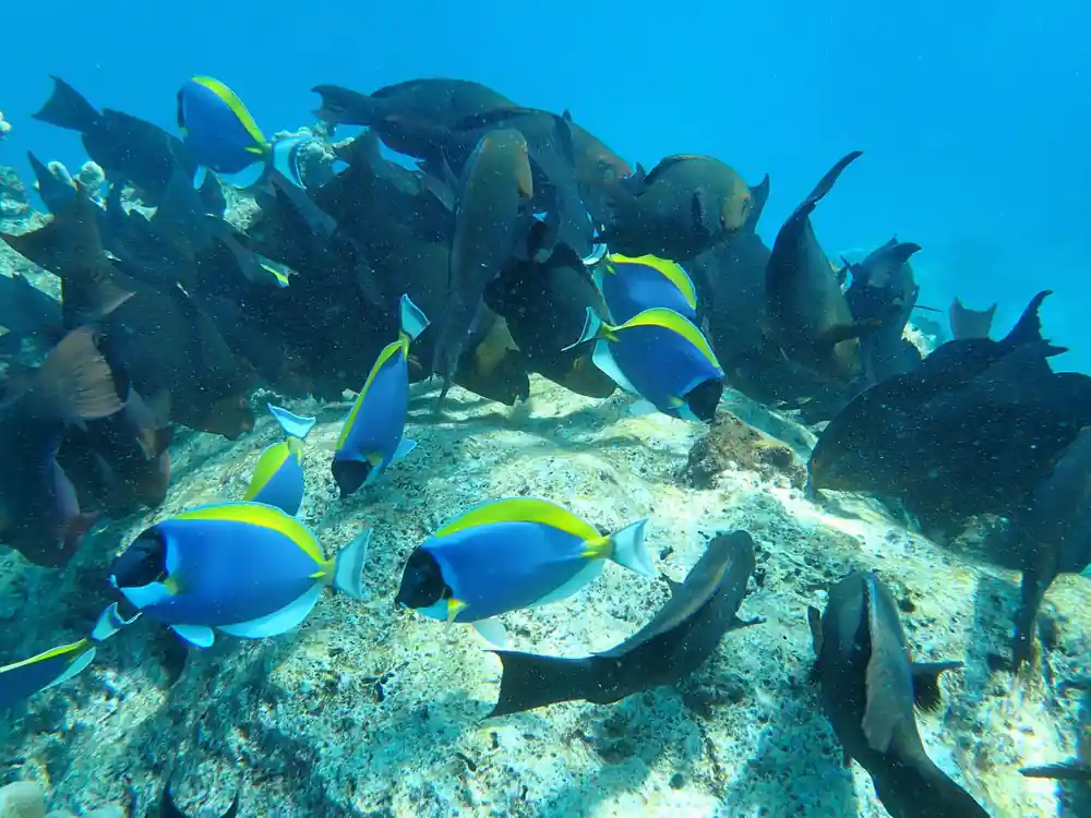
The water clarity results from multiple factors working together. The granite islands produce little sediment or organic matter compared to river deltas or densely vegetated coastlines, so runoff remains minimal. The deep water surrounding the islands allows light to penetrate fully to the seafloor at your three snorkel stops, revealing the underwater landscape in vivid detail. Seasonal variations mean visibility is best during the dry season, typically November through April, when tourism peaks and the early-bird tour schedule runs daily. During your snorkelling sessions, this combination of clear water and sandy bottom means you'll see fish, corals, and rock formations with remarkable clarity, understanding why the Similan Islands have earned their reputation as a world-class snorkelling destination within reach of Phuket and Khao Lak hotels.
See the Granite Giants Up Close
from US$123Reserve now & pay later